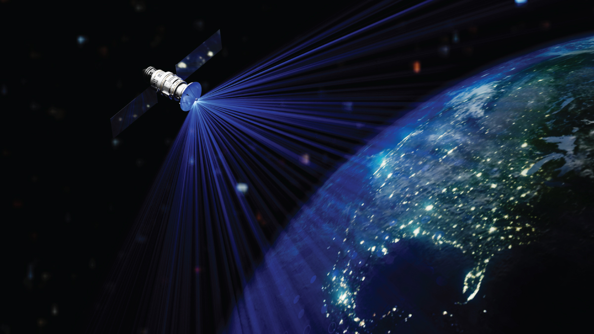
The combination of smallsat innovation, cost reduction and vertical integration is pushing the boundaries of what’s possible with synthetic aperture radar (SAR) imaging.
Read our top four takeaways from our conversation with Brandon (BT) Cesul of Umbra, or listen to the full episode.
Takeaway 1: SAR can see when optical sensors can’t.
Half of the planet is always in darkness, and optical sensors are blind without sunlight. SAR, however, generates its own illumination, enabling continuous visibility through night, clouds and storms.
“With SAR, we provide our own light,” Cesul said. “The radar is our own light, so that allows us to image at night. It allows us to image in daytime, no matter where the sun is. It also allows us to image through natural events like clouds and weather events and dust storms.”
That capability gives SAR value in critical operations—from tracking tanks on the move to assessing infrastructure damage after a hurricane. “If you don’t have the ability to see at night,” he said, “you can’t see where those changes are happening—where fires are occurring, where power lines are down, where buildings are being damaged.”
SAR turns the entire globe into an always-on source of actionable data, bridging the gaps that have long limited optical imaging.
Takeaway 2: Technology has broken SAR’s barriers.
Historically, SAR was hindered by three main constraints: power, processing, and data downlink. Those barriers are now rapidly disappearing thanks to the small satellite revolution.
“SAR has traditionally been limited by three things: the power you’re transmitting, the microization of electronics to process complex data, and the ability to get data to the ground,” Cesul said. “Because of the small satellite revolution… the technology to enable SAR from space has now gotten to the point where we can solve all of those problems.”
Today’s high-resolution SAR satellites leverage more efficient power systems, onboard computing, and expanded ground station networks to deliver massive datasets in near real time. Umbra’s systems now produce images at levels that rival electro-optical imagery.
“We’re basically able now to match the resolution of some of these electro-optical systems with our SAR system,” Cesul said. “That really is the thing that blows open the door to utility for SAR satellites.”
These technological leaps are transforming SAR from a specialized defense tool into a mainstream remote-sensing solution for government and commercial users alike.
Takeaway 3: High-quality SAR imagery is expanding the opportunity.
Image quality depends not only on resolution, but on signal clarity and processing power.
“Sometimes if you send out your radar and you collect the signal back, if you don’t have enough processing power… you get noisy images,” he said. “One of the things we do really well is provide crisp images so you can actually see those things that you’re trying to look for without having to fight through a bunch of noise.”
Agile satellite design allows multi-angle “looks” at targets, enhancing image fidelity and enabling detailed damage assessments after disasters. This combination of precision and affordability is reshaping how industries leverage space-based imagery.
“What good is an image if it’s going to cost a million dollars?” Cesul said. “Now, if you can make the price point of that image to where the average user can use it… maybe insurance companies want to do that, because they can image 10 or 12 homes for the same price and time it would take to send one drone.”
Takeaway 4: SAR adoption is accelerating across multiple markets.
While SAR’s roots lie in defense and intelligence, its accessibility is sparking adoption in unexpected fields—from tactical operations to environmental science.
“National security is the number one application where SAR is really providing a difference,” Cesul said. “Your enemy doesn’t only operate in the daytime or under perfectly sunlit, cloud-free conditions.”
But beyond defense, Cesul pointed to surprising use cases. Financial analysts are using SAR to assess crop yields and storage movements. Researchers are tracking penguin and walrus migration in Antarctica—an area notoriously difficult to observe with optical imagery.
“Antarctica’s a really hard area to image with an EO sensor because of the weather and the lighting conditions,” Cesul said. “With SAR, we can track entire herds of penguins moving across glaciers.”
On the tactical side, Cesul noted that commercial SAR constellations now provide faster, more frequent imaging than legacy government systems. “Because we’re able to launch these larger numbers of assets at a lower price,” he said, “we can get that data down to the ground faster and provide it to a tactical unit without weeks-long tasking cycles.”
For more on SAR technology innovation and adoption, listen to the full episode.
Explore More:
Iceye in Radar Imagery, Neuraspace in SSA Analytics
Threat Briefing 27: Adversaries Develop new Tactics for Breaching Air-Gapped Networks
New Emissions Rules and Sensors Could Expand Role of Satellite Monitoring
