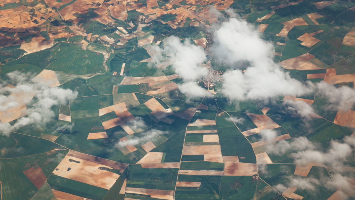
 Aerial view of agricultural fields with cloud cover, captured by Earth observation satellite, highlighting SmallSat-driven big data in land use and environmental monitoring.
SALT LAKE CITY, UT — Earth observation (EO) remains a dynamic corner of the smallsat industry. Earlier this month, dozens of EO players, including start-ups, established players and university programs attended the SmallSat conference in Salt Lake City to present, analyze and discuss their unique approaches to gathering information about our planet.
EO data is obtained and used in many different ways. Here are just a few examples of recent innovations in the EO market:
- Last week, ICEYE announced Scan Wide mode, which expands its SAR capabilities in order to image up to 60,000 km2 in a single image.
- In January, Umbra signed a three-way agreement with Raytheon and Array Labs to develop Site3D, a 3D geospatial product that will support customizable tasking.
- In July, Airbus launched a pair of satellites, the first in a six-satellite constellation that will deliver Europe’s primary polar-orbit meteorological data for the next two decades.
- Last year, Planet partnered with Carbon Mapper to publicly share the data gathered on global methane and carbon dioxide emissions from the Tanager-1 satellite. Check it out here.
How Data is Collected
Earth observation data is typically collected in one of a handful of ways: Electro-optical, or RBG imagery, is simply taking a picture, just like you would with your cell phone. Hyperspectral imagery adds additional layers of data from the electromagnetic spectrum. SAR uses radar and a synthetic aperture created from the movement of a satellite antenna over the Earth, and microwave sounding of the atmosphere can provide data on weather, cloud cover and humidity.
Some innovators are experimenting with combining multiple types of imagery. At the University of Pittsburgh, engineering students are combining electro-optical imagery with neuromorphic imagery. Neuromorphic cameras record data based on a change in light.
“One of our flagship applications is a neuromorphic identification and tracking system.” —Mike Cannizzaro, University of Pittsburgh
“One of our flagship applications is a neuromorphic identification and tracking system,” said Mike Cannizzaro, a PhD student at the University of Pittsburgh , during a SmallSat presentation. “The efficient neuromorphic sensor runs continuously, and based on what it sees, it will then act as a trigger for the higher power [optical] system.”
As Earth observation technology continues to evolve, the market for it will also expand, potentially altering many crucial technologies, from agricultural planning to national security programs.
EO for National Security
Synthetic-aperture radar (SAR) imagery is a form of high-resolution remote sensing that uses the movement of an antenna over an area to form a radar image. Companies like Umbra favor SAR data because it isn’t limited by constraints like sunlight, cloud cover or other weather events, consistently delivering high resolution images.
“We’re already at the point where SAR is competitive with optical systems in terms of resolution,” said BT Cesul, senior manager of business development at Umbra. SAR also gathers more complex data than typical electro-optical imagery. “You’re seeing more than just reflected photons. You’re seeing phase history and Doppler shifts and polarity changes.”
“We’re already at the point where SAR is competitive with optical systems in terms of resolution.” —BT Cesul, Umbra
This data can be used in sectors like agriculture, where SAR images of fields can help farmers monitor crop health. But the most pressing use case for many SAR providers is in national security. Detailed imagery of movements on the ground, including the ability to analyze the actual materials and makeup of an object, could inform critical decision-making. Imagine, for example, trying to distinguish between an inflatable tank decoy and the real thing.
“If you just took a picture with a camera with the two side by side, they are the same color, the same size, the same camouflage pattern, they would look the same to you,” Cesul said. “But if you export the complex data in SAR, you can actually tell that one object is metallic and one object is rubber.”
Very low-Earth orbit (vLEO) is a popular location for radar imagery such as SAR, especially as satellites are built and designed specifically for the vLEO environment. Engineers from The Aerospace Corporation, a research and development center, attended SmallSat to discuss the design and launch of DiskSat, a novel containerized approach to small satellite architecture.
“There are a couple of things that are attractive about vLEO for radar systems,” said Catherine Venturini, principal engineer at The Aerospace Corporation. “The return is higher, as the lower you go, the more signal you get back.”
A DiskSat system, despite its very compact size, could host a SAR platform in vLEO and obtain very detailed SAR imagery. “In vLEO, you can get comparable image quality with a much smaller system, and DiskSat has a low profile, so you can fly it that way,” Venturini said.
Commercial EO: Supply Chain, Markets and Mapping Ship Routes
EO data also has high commercial value, and as it becomes more widely available, it will be used in a wider variety of applications. “As people get more exposed to the utility of the data, we see the customer base expanding, to scientific studies, to commercial users, for monitoring markets and commodities and shipping lanes,” Cesul said.
OHB Sweden, a space systems company, presented at SmallSat on the Arctic Weather Satellite, a project undertaken in partnership with ESA. The Arctic Weather Satellite uses microwave sounding to monitor the weather and atmosphere from a polar orbit.
“A microwave payload is quite small, so it can be mounted onto a smallsat,” said Benjamin Jounneau, AOCS Engineer at OHB Sweden. “There are different channels on the payload that we can use to monitor different water particles in order to get things like temperature or humidity data.”
As most satellites fly closer to the equator, the polar regions are often sparsely covered. Currently, most end users for the Arctic Weather Satellite are meteorological institutes in Europe, which use polar weather data to inform weather models. In the future, however, this data could be used in many commercial ways, especially in the maritime sector.
“It’s very important for shipping routes to have good monitoring of any storms. It’s good to be able to guarantee shipment safety.” —Benjamin Jounneau, OHB Sweden
Shipping routes in the Arctic are notoriously dangerous. “It’s very important for those shipping routes to have good monitoring of any storms,” Jounneau said . “It’s good to be able to guarantee shipment safety.”
The Arctic is also home to many oil rigs, which are difficult to monitor, owing to low visibility and long periods of darkness. Oil spills are also difficult to detect and map, due to ice-cover. EO satellites offer a convenient and detailed method of obtaining detailed imagery with a high revisit rate.
Satellite data on shipping routes can have significant financial impact—according to ESA, three ships sink every week, displacing more than 500 tons of cargo, and a study published in 2023 predicted that supply chain operators that utilize satellite data on marine ports could receive an annual return of 16%. Using satellite data would also significantly reduce fuel consumption and emissions.
EO data from satellites like the Arctic Weather Satellite can also be used to track data on climate change, which is especially prevalent in the Arctic region, where the speed of ice melting can offer insight on climate trends. “Helping scientists to actually properly monitor that makes our overall understanding of climate change a bit better,” Jounneau said.
Turning Data into Action
As more data is gathered, the more important it becomes to develop systems of data aggregation, storage and processing.
“The data has to be processed in order to be useful,” Cesul said. “A lot of money, effort and time has been spent to understand: how do you process the data faster to make it more inherently understandable at the display level?”
For a company like Umbra, data is collected, undergoes a quality check, and then is hosted on a cloud server where a customer can access it directly. “They’re allowed to go process it however they want, for whatever application they want,” Cesul said.
There are many approaches to the data aggregation and processing problem.
But there are many approaches to the data aggregation and processing problem. For example, last year Planet Labs partnered with Carbon Mapper to host data collected from advanced hyperspectral imagery of global carbon dioxide and methane emissions. The data is hosted on a publicly available portal where anyone can view and use it. The decision to host the data this way—in a readable and comprehensible way—essentially breaks down one of the most significant barriers in the EO market: efficiently translating all of the data gathered by EO satellites directly to end users.
Other data types, such as the University of Pittsburgh’s multilayered data collection, or OHB Sweden’s microwave sounding of the atmosphere, may not translate as clearly to an easily accessible web portal. But the data translation problem remains a pressing issue all over the industry, for both providers and end users, especially as the size of the collected data continually expands with new methods and techniques.
Data often founders in closed ecosystems, and data analysis techniques are subject to very little standardization. But if an EO player can efficiently offer easily comprehensible and accessible data to an end user, then these systems could quickly change how we understand and interact with the world around us.
Explore More:
Podcast: Hyperspectral Imagery, 1,000 Mbps from Space and a Health Monitor for the Earth
Why Experts and Investors Remain Bullish about the Earth Observation Industry
Expanding Earth Observation Opportunities and Data Access