Transcript:
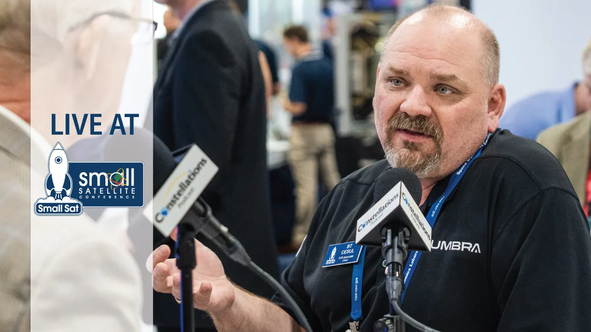
John Gilroy: Welcome to Constellations, the podcast from Kratos. My name is John Gilroy, and I will be your moderator. In today’s rapidly changing world, there are threats, natural disasters, and environmental changes that can occur without notice, that can negatively impact business and government operations. Delivering persistent high resolution insights anytime and anywhere using remote sensing is critical. Here to discuss the powerful capabilities of high resolution SAR is Brandon “BT” Cesul, senior manager from Umbra. He’s going to talk about the advantages of this technology and how it can help customers solve complex security, business, and environmental challenges. BT, a tough topic. Are you ready to jump in?
BT Cesul: I am, John. I’m really excited to talk about this. Just want to thank Kratos for having us on here on the podcast. And I will say that Kratos has my favorite T‐ shirt out of the small satellite conference. The Space Cowboy is a favorite pajama shirt for me, so looking forward to hopefully scoring one after this interview.
John Gilroy: Great, great, great. So BT, in today’s increasingly complex contested and changing landscape, what role does synthetic aperture radar SAR technology play in helping to address these challenges?
BT Cesul: Yeah, so it’s a great question. So when you talk about remote sensing from space, right? One of the big things is trying to get that intelligence or that insight as to what’s happening on the globe when you can’t get to it with a drone or an aircraft or some other way to see it in the terrestrial sphere. So getting into space provides you that overhead view. The problem is half of the earth is in darkness, right? Half the time. So you have to have a sensor capability that’s able to see in the night. That’s something that SAR can do because the SAR acts as its own illuminator as a radar. So normally for an EO system like you’d have on your cell phone camera, you need the sun or a flash or something else to provide those photons going in, reflecting off of something and taking the image. With SAR, we provide our own light. The radar is our own light, so that allows us to image at night. It allows us to image in daytime, no matter where the sun is. It also allows us to image through natural events like clouds and weather events and dust storms so that you can actually see through those events where a normal visible image would be blocked by those things.
John Gilroy: So BT, we are sitting here at the SmallSat conference in lovely downtown Salt Lake City, and I’m sure if you walked around and talked to people, the concept of isn’t new. It’s been around for a little bit here. Oh yeah, yeah. It’s been around for a while. So what key technological advancements have made high resolution SAR more accessible and valuable for a wider range of applications today?
BT Cesul: Yeah, sure. So SAR has traditionally been limited by three things. So the power usage, the power that you’re transmitting out of the radar, that’s one button. The second is the microization of the electronics that you need to process the complex data coming back into the satellite from your radar. And the third is the ability to get data to the ground. SAR is a very large data set comparatively to other data sets. So you have to have the ground station capacity in order to transmit the information to and from. Because of the small satellite revolution that’s happened over the last 20 years, the technology to enable SAR from space has now gotten to the point where we can solve all of those problems. We have sufficient power on orbit, we have sufficient computing power on orbit to do the processing and the intricate control, and we have the ability through the expansion of ground station networks in order to get the data down to a user to make it useful. So now that we have those three problems solved, now it’s just the same evolutionary cycle that’s happening in every other small satellite mission area that’s now happening to SAR. It’s becoming more cost‐effective for the user. It’s becoming faster to produce and it’s becoming easier to produce. The hurdles for entry are lower.
John Gilroy: It sounds like it’s a perfect storm to bring high resolution to this technology, isn’t it?
BT Cesul: Yeah. And that’s actually, when you talk about radar, there’s like three dials to switch in order to improve the resolution. So one is that power button, the other one is the frequency that you choose. So the higher frequency gets you higher resolution, and the third one is the bandwidth. So how much radar energy can you accept coming back, reflecting off of objects? Because of the improvements in the microelectronics and the computing power and the antenna materials that we use on our satellites, we’re basically able now to match the resolution of some of these electro‐optical systems with our SAR system. And that really is the thing that blows open the door to utility for SAR satellites. Now you can see that quarter‐meter object just like you would out of a picture from your camera.
John Gilroy: BT, let’s talk more about resolution. So resolution is a key metric in remote sensing. Can you talk us through what high resolution means in the context of SAR and what specific details or features a user can discern with it that they couldn’t before?
BT Cesul: Sure. So with SAR, we get a couple different things than your other types of imaging technologies. So because you’re your own illuminator, again, you’re able to transmit off and collect those reflections. So you see anything that’s in the scene. One of the great advantages of that is you can see inside shadows, right? So if you were looking on a bright sunny day and trying to see something that was hidden by the shadow of a building, you couldn’t see if that was a bike or a car or a tank hiding in the shadows of that building with synthetic aperture radar and the ability to provide that radar energy down, you can actually see through that shadow, get the reflections off that tank and collect it back up. So when we talk about resolution and performance, when we start getting down to the levels that Umbra is producing imagery at the quarter‐meter, so 25 centimeter, 50 centimeter, and one centimeter resolution, which is our standard product line. You can see things like cars, tanks, airplanes change detection for things even like Burning Man. We just gave a talk a couple minutes ago where we were able to show the difference in the Burning Man festival scene between when people got there, before they got there, when they got there, and then after they left all the trash and other things that were left over. So that’s the type of thing that resolution can buy you is the ability to see smaller and smaller objects at farther and farther away distances.
John Gilroy: When we began this conversation, we talked about seeing at night. So the ability to see through clouds and at night is a well‐known advantage of SAR. We all know that. So how does this capability translate into practical day‐to‐day benefits for customers trying to make time‐sensitive decisions?
BT Cesul: Traditionally, when you talked about synthetic aperture radar, the reason it was developed was for national security reasons. There are things that happen at night that bad guys do that you really want to know about. Whether it’s a tank formation leaving on an unexpected military maneuver or a missile leaving, its a depot area to go out for a launch. That’s the type of stuff that you really want to be able to see as fast as possible. So you can enable countermeasures, but for natural disaster events, so think like hurricanes that come through Puerto Rico and wipe out the entire electricity for the island. If you don’t have the ability to see at night, you can’t see where those changes are happening. Where are fires occurring, where are power lines down? Where are buildings being damaged? So it’s not just for the national security missions, it’s also for a lot of those natural disaster and recovery efforts where you may be blocked from using an EO system because of clouds or a hurricane or a windstorm or a dust storm. SAR can see through that provides you that information at a real‐time basis so that you can get that critical information to save lives.
John Gilroy: BT, you look around the floor here, there’s emerging technologies everywhere. So how do emerging SAR imaging processing modes like spotlight and dwell operation impact both resolution and responsiveness for end users?
BT Cesul: One thing I want to hit is we keep talking about resolution, but one of the key things for us is not just the resolution but the quality of the image. And that plays into the answer to this question. Sometimes if you send out your radar and you collect the signal back, if you don’t have enough processing power on your satellite or enough gain on your antenna, you get noisy images. So it’d be like getting a fuzzy image, right? So sure there’s a 25 centimeter object in the scene, but if it’s all clouded by fuzz and noise, you’re not going to able to pick it up. So the ability that one of the things that we do really well at Umbra is provide crisp images so that we take out a lot of that noise so you can actually see those things that you’re trying to look for without having to fight through a bunch of speckle and noise. Now on the question that you asked, one of the things I also say is that our multi‐look operations that we do in these different modes, they enable us to get that great quality by having the satellite be very agile. So we can actually pitch roll and yaw our satellite in any different direction in geometry. So we can get a lot of different aspect looks at an object that you want to see. So that helps because if you only could take an image from one direction, right? If you’re trying to figure out the damage done to a building during a hurricane, right? If you’re only seeing it from the eastern side, well you don’t know did the western side collapse in? Is there a water main that’s broken? Is there a truck that crashed into it? So having the ability to see on all these different aspect angles because of our agility of our satellite bus really helps in the responsiveness and the utility of our imagery.
John Gilroy: The commercial satellite industry is experiencing a proliferation of constellations. We know that. So how does the increased frequency and availability of high resolution SAR data influence the market and the types of services that can be built atop it?
BT Cesul: Yeah. So obviously the more satellites that are up there, the more images that are available, and theoretically the better utility that should be gained by users on the ground. Also, you would think that with the more constellations and the more systems that you have up there, the price should go down on the imagery as well. That’s not necessarily the case. For us, we focused on really driving the cost of our satellite manufacturing, our satellite operations, and our data processing down so that we can pass those savings onto the users. Because really what good is an image if it’s going to cost a million dollars for an image, right? There’s not really a lot of utility. Now, if you can make the price point of that image to a point where the average user can use it, I’m sure you’ve had, where do you live, John?
John Gilroy: I live in Virginia.
BT Cesul: In Virginia, right. So you have hailstorms, right?
John Gilroy: Yeah.
BT Cesul: I’m sure you’ve seen the insurance companies send out the drones, right, to take pictures of your roof? Well, if you could do it with an imagery satellite the same price for a guy with a drone, maybe the insurance companies want to do that, because now they can image 6, 7, 10, 12 homes for the same price and time that it would take to send one guy to do one home. So that’s the type of things that these constellations are driving to is bringing the unit economics down for both satellite operations, satellite build, and then ultimately passing that on to the consumer in terms of the products that we’re selling.
John Gilroy: So BT, what are the key market segments or industries where high resolutions are is having the most transformative impact? And maybe can you provide some examples of where and how the technology is being applied successfully?
BT Cesul: Sure. So national security is the number one application where SAR is really providing a difference because your enemy doesn’t only operate in the daytime or under perfectly sunlit cloud‐free conditions. So in the national security apparatus, having that additional indications and warning ability that SAR provides, that’s really been a game changer. Imagine, if you will, in a historical context, what would Paul Revere’s ride look like if he had SAR scouting the way to figure out where those British posts were, right? Or on the other side, would the British have been surprised on Christmas day with Washington crossing the Delaware if they had been able to see the boats coming across the water with SAR imagery? So those are kind of two abstract examples, but you start to place the national security applications. The other part though is commercially, we’re definitely seeing increased usage in the industries like financial intelligence, so doing market prediction, crop yields, movement and storage and supply, and also biological research. One of the really interesting things that we support with Umbra is a number of biological research programs that are looking at things like penguin migration and herd counting or walrus migration and herd counting. Antarctica’s a really hard area to image with a EO sensor because of the weather and the lighting conditions. SAR, we can track entire herds of penguins moving across glaciers and track them in a couple different ways. One of which is kind of inappropriate to talk about on a podcast because of the material that we use to track the penguins, if you catch my drift. But yeah, those are some areas that we can definitely apply the application for.
John Gilroy: Let’s go from herds of penguins to national security, more application for this audience, the defense and intelligence community, they’ve long used SAR, we know that. How has the availability of higher resolution and more frequent SAR data, how’s that changed their operation capabilities and analytical workflows?
BT Cesul: Before I came to Umbra, I used to work in the intelligence community for a long time, and the adaptation of using SAR, the adoption of using SAR was a long process because SAR is not naturally as intuitive as seeing an optical image in your eyeball. You have to understand some of the physics involved and what you’re actually seeing, what the image construction is actually doing. But now that we’re able to get to the resolution levels where you can more intuitively see what’s happening in the scene, that doesn’t have to be as much gray matter interpolation of what you’re seeing in that picture. It’s becoming more widely adopted. That higher learning curve though, is slowing the adaptation. So it’s taking some time, and as we educate our customer based on what you can do with SAR, we then see almost immediately a greater uptick in our tasking and the utility of our images in the capability. On the tactical side, one of the things that’s really important that commercial is bringing to the fight is that because we’re able to launch these larger number of assets at a lower price than your typical national type of architecture system, we’re able to get more assets up, take more images more frequently, and then using the commercial ground networks that we were able to utilize, we can get that data down to the ground faster and provide it a tactical unit so that they don’t have to go through a weeks‐long tasking cycle that eventually may get to them after it goes through a collection manager and other things.
John Gilroy: Let’s dive into assets a little bit here. So to provide customers with high‐ resolution and quality SAR imagery, can you tell us what is required in terms of the number of satellites, imaging technologies, and maybe even capabilities?
BT Cesul: Sure. So this is a it depends answer. I know everybody hates it depends answers, but a couple things that we at Umbra chose specifically to maximize our customer use case. So the first driving factor is that unit economics. On our satellite build and operations, we’re beating our competition on the price to build units, and that is showing off in our ability to sell images at the right price for customer utilization. And that’s proving out in our revenues that we see every month coming from commercial imagery sales. So for us, that ability to use small satellite technology at the adoption of commercial components as much as we can, and then adapting them for space usage, that’s allowed us to drive that paradigm home on the unit economics. The other big thing, and I think everyone in the small stack community would agree is that lower cost to space, the lower launch services cost driven by companies like SpaceX and Firefly and Rocket Lab and all the other new generation launch vehicles, that ability to drop that price per kilogram from literally $10,000 per kilogram now to a hundred or a thousand dollars a kilogram, multiple orders of magnitude less. That has lowered the bar of entry so far that now companies like Umbra are able to take that risk with a smaller financial investment that would be necessary 30 years ago. Now we can start to develop that technology and get it up and start making really systems that cook.
John Gilroy: Companies take different approaches to the development of their SAR platform from building systems all themselves in‐house to leveraging diverse supplier base. So what approach do you believe is the most effective for delivering customers the best possible imagery?
BT Cesul: Well, so I work at Umbra, so we believe the most affordable way or effective way to do that is with vertical integration. That’s a key design philosophy for us across the company. We think that vertical integration gives us the ability to control the supply chain. I mean, everybody remembers, right? Two, three years ago when everybody was having supply chain problems because they, they’re always reliant on someone else to give them that next thing to advance their product. We control our supply chain as much as possible by doing as much as we can in‐house reflected in the launch of our space systems component line, where we’re now selling the components that we built for our own satellites to other people, because we believe that much in the quality. The other part is the control of the cost. The more you get vertically integrated, the less you have to pay middleman fees, or, what’s the big word today, right? Tariffs. Thank you. Tariffs, right? So by having that control of the supply chain, having that control of the component production, we can reduce those variabilities in the cost that affect the end product. We also understand though, that we can’t do everything. There are some strategic areas where for multiple reasons, we use other vendors. And we partner with them, and that’s why we’re part of a big SmallSat collaborative economy and ecosystem, right? But the vertical integration for us is a key part of our design philosophy.
John Gilroy: BT, looking ahead, what do you see as a major evolution for SAR technology and what new problems will that next generation of capability be able to solve?
BT Cesul: So if you remember back to my answer about how do you improve SAR imagery, we got the three buttons, right? You got the power, you got the frequency, and you got the bandwidth. So for us, the next technologies that are going to have to develop to improve that quality are going to be going to higher frequencies. So for us right now, we operate in X‐band. We want to go to higher frequencies because by getting higher frequencies, you shorten that wavelength and now you can see smaller objects by the laws of physics. Okay? The second is increased power. So as we can build bigger solar arrays, larger batteries on our satellites, we can now increase the power available to our satellite. That improves our capability two ways. One, we get more power, so we get more signal down to target, which means we get more signal coming back. The other though is by increasing our power availability on board the battery, we can increase our duty cycle. So the amount of time per orbit that we can actually operate, the SAR SAR’s a power intensive payload compared to some other payloads. So the more that you have the power available on your satellite built up, stored up, that you can operate your for longer before you have to go into a recharge mode, that’s a huge capability that we’re looking to invest in. And batteries and solar cell improvements. The final one is the bandwidth question, and honestly, right now, our technology for our bandwidth, we could do better than what we’re allowed to do right now. But there’s some licensing restrictions that we’re working through with the federal government and licensing agencies that if we were able to open up the capability of our bandwidth on our receivers to what our competitors are doing in Europe and other places around the globe that don’t have the same laws as us, we could improve our quality overnight. So that’s another area that we’re looking to improve, is get the higher bandwidth by improving our software‐defined radios and the backend electronics on our SAR payload.
John Gilroy: BT, I think you’ve given our listeners a real good insight on high resolution SAR. You have been listening to the Constellations Podcast. My name is John Gilroy. I’d like to thank our guest, BT Cesul, senior manager from Umbra.