Transcript:
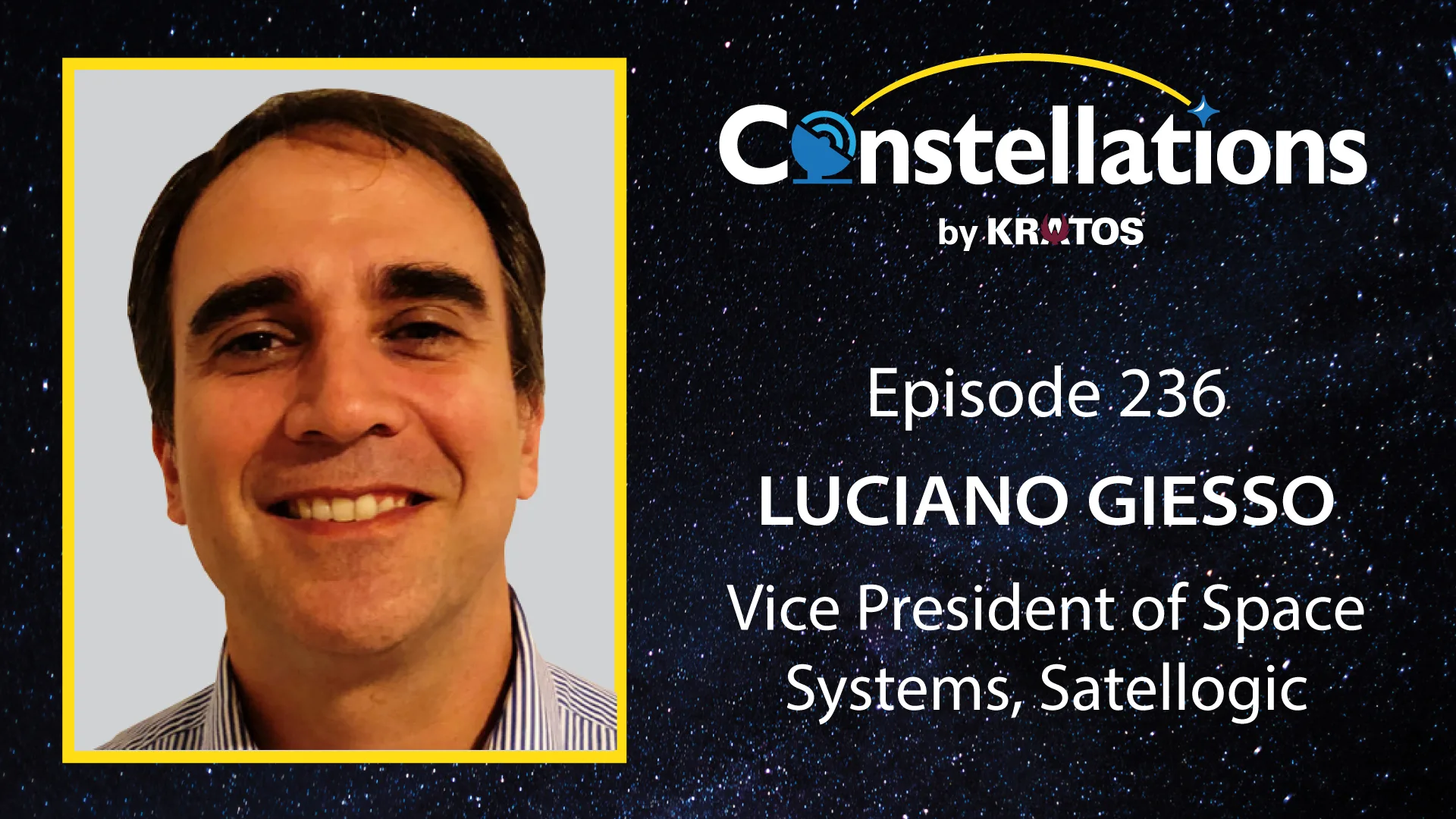
John Gilroy: Welcome to Constellations, the podcast from Kratos. My name is John Gilroy, and I’ll be your moderator today. We’re looking at how Earth observation is changing as missions become more time sensitive. AI moves closer to the sensor and governments reconsider how much control they need over imaging, processing, and responsiveness. Joining us is Luciano Giesso, Vice President of Space Systems at Satellogic, to explore how these shifts are redefining expectations for trusted data, rapid workflows, and the future of EO-driven decisions. Luciano, a big topic. You ready to dive in here?
Luciano Giesso: I am. I am. And-
John Gilroy: Good, good, good.
Luciano Giesso: … thank you very much for having me, John and everybody at Constellations, Madeline, everybody who worked to have me here today. I’m very grateful, looking forward to it.
John Gilroy: Luciano, from your international work across tech and geospatial markets, how do different regions frame their expectations for integrating Earth observation into time-sensitive missions?
Luciano Giesso: It’s a good question. I don’t think there’s a lot of differences right now between regions. The US, Asia, Europe, everywhere, governments that we work with, they revolve more about decision timelines and what is done and responsiveness rather than the imagery itself. We are not seeing a lot of changes region-wise. It’s more like everybody is, can I get actionable intelligence past enough to influence an outcome? That’s what the question is mostly. And there’s a difference, I would say, more on the agencies than there is on the countries or on the governments or on the sovereign entities out there. So, what I mean by agencies is defense organizations are looking for a few hours or less latency. Civil agencies may consider days acceptable. We have different products addressed to each of those very distinct worlds. There’s this platform and a product that we called Aleph Observer where customers can persistently monitor critical sites through our Constellation using our Constellation. A few weeks ago, and this is public so I can mention it, we signed an $80 million defense monitoring agreement where we’re providing that kind of persistent monitoring on top of ad hoc tasking capabilities. So, you have a bit of both. The defense part, looking at very fast imagery and data, especially data supporting decision-making and also persistently monitoring different sites to make different decisions in terms of what can be detected and changed or what kind of ports or maritime capabilities can be monitored. There’s a lot of things that are done within the Aleph Observer frame.
John Gilroy: Good, good, good. When organizations begin depending on satellite data for rapid or operational workflows, what early misconceptions do you most often have to address?
Luciano Giesso: So, one thing that I would say that one thing that has been changed in the past years is that ultra-high resolution like intelligence level imagery is always needed. We think, and we see, and we have customers to back this up, that faster and better revisit matters more than 15 centimeter resolution imagery or very, very high resolution imagery. We’re now delivering, with our current constellation, 50 to seven centimeter resolution imagery and moving to we have an upcoming NextGen satellite that will do 30 centimeters and we also have another constellation called Merlin that is one meter resolution, so lower resolution, but meant to monitor the entire planet on a daily basis. So, there is more today of a better revisit paradigm that is more important we think than the high resolution or ultra-high-resolution necessity. So, that would be, I think, the most frequent misconception.
John Gilroy: Revisit. Interesting. When technically mature users evaluate whether EO data is truly analysis-ready, what benchmarks or verification steps do they consistently rely on?
Luciano Giesso: Well, I think the most important part, and it’s not technical, is that they trust it enough to build their operational decisions around it. So, experienced users, they rarely evaluate imagery based on a single specification. Okay. There’s lots of stuff on the technical side and the assess attributes like geometric accuracy, temporal reliability, metadata completeness. There’s stuff that they really look at. But what’s more important right now is that they can trust it to make those decisions around that kind of imagery rather than the technical specifications. It is important for the data to integrate seamlessly into their existing GIS environments. We’ve had many cases where algorithms trained for other vendors or other image providers were not needed to be retrained on our imagery because we use open standards and it doesn’t require any manual reprocessing, but boastly it’s built. The key is trust rather than anything technical.
John Gilroy: Good, good. So, Luciano, when customers assess AI generated insights and scenarios where latency matters, what questions do you recommend they ask to determine whether those outputs can be trusted under this time pressure?
Luciano Giesso: Oh, okay. I would say I’m thinking two questions. Okay. One is what evidence supports the result? So, can the AI output be traced back to the underlying imagery and data that supports it, right? So, we really focus on two things. One thing is whatever data is needed as fast as possible to support that result, but then you have to, when we deliver the full dataset to the same client, here’s the data that supports that kind of conclusion that we sent you. And the second one would be more around heritage, I think, and experience. So, how often do you validate your models is something that we have been asked by clients because there’s changes consistently and operational environments change consistently. So, models need to be continuously retested and evaluated against the current conditions at any given point.
John Gilroy: For governments acquiring their first EO satellites or maybe even building sovereign programs, what parts of creating a workable data pipeline tend to be the most challenging?
Luciano Giesso: So, it varies government to government, but we need to build the operational ecosystem around each of these space systems programs, if you will. We have done these programs. The division that is in my title is about not only selling satellites, but creating sovereign space capabilities. And we’ve done many programs. I’m going to mention a few that were publicly announced that I can mention like countries like India, Malaysia, Portugal, Australia, where these programs encompass, they’re all different, but they encompass space and ground systems and ground segments, I’m sorry, tasking platforms and integration with existing testing platforms and with existing ground segments. In some cases, AIT capabilities developed in country. One thing that is common to all, there is lots of training in all these programs. So, we’re seeing stronger and stronger demand for silver control over space assets, I would say.
John Gilroy: As geopolitics shifts expectations around access, responsiveness and data control, how are you seeing nations wreath the risks tied to extra imagery sources and external process data?
Luciano Giesso: So, commercial, I think that commercial Earth observation today is an essential component of not only the global geospatial ecosystem, but especially in sovereign nations and governments using this externally processed data, as you mentioned. We put an emphasis on sovereign ready architectures. We’re very bullish on making everything secure and private. And in the US alone, I could mention some examples, some that we’ve been working contracts that we signed directly or that we signed through primes in programs such as the EIM program, the LUNO program, the CSDA program of NASA. There’s many external imagery provisions programs where commercial imagery is key and we’re a part of many of those.
John Gilroy: You mentioned that we’re in sovereign a couple times here. I want to maybe dig a little deeper into this. In sovereign defense and national level programs, how are priorities evolving around who controls imaging timelines, analysis latencies, and the overall responsiveness of the EO systems?
Luciano Giesso: Well, again, I think I mentioned this that it varies a lot country to country and government to government and even within agencies, but I would say control is increasingly becoming more of a mission requirement. A typical space systems program of ours, it involves, of course, dedicated satellites integration with ground segments and existing processing infrastructure sometimes and always something that is very important here and it is a key priorities that they have to have independent tasking capabilities. That’s one thing that we find all across the different contracts for space systems programs that we sign to date.
John Gilroy: Yeah, I wrote down that word integration. That’s really a key concept here. I want to drill down into that a bit further. When governments work to fuse commercial imagery with sovereign classified systems, here’s the integration problem. What integration problems tend to appear first and what makes them difficult to overcome in the practical world?
Luciano Giesso: Well, I think the most important part is that the insights that are generated from commercial datasets are as secure as the ones that they would get from classified ones. That’s what I think is the key here. It’s not really technical. It’s basically trust in commercial EO. I think the industry has gone a long way in recent years in overcoming this and that requires to solve these issues requires common standards and robust data architectures. And I think that the commercial industry is now a key player because we have achieved that kind of milestone.
John Gilroy: Luciano, let’s go from commercial to defense. So, in defense use cases where persistent awareness is really essential, how do users balance the need for continuous coverage with the processing burden that comes with these high frequency collection?
Luciano Giesso: I think historically, one, a given end user would collect everything, would download everything, would process everything, but it is a processing burden, as you mentioned, and that approach no longer scales. Today agencies are increasingly prioritizing change detection, automatic alerting. There’s a lot of that. There’s a lot of identification of anomalies. Again, it’s more about the outcomes of the data than the data itself. And we have AI capabilities built into many of our satellites that analyze the data on board and they transmit higher value information rather than treating every image equally as it was in the past. So, the objective is to maximize the decision relevance rather than to maximize the data volume.
John Gilroy: You can’t have a conversation even at a restaurant without mentioning AI. So, I got to bring up AI here. You can see it coming. When you look at emerging on orbit AI processing, what kinds of missions or decision workflows stand to benefit the most from shifting analytics closer to the sensor rather than closer to the ground?
Luciano Giesso: Well, I think the key may be time missions where time has an operational value for activities such as defense monitoring or disaster response or border security, where initial analytics, it’s a big plus. I’ll mention example, but there’s also architectures of ISL or intersatellite links that are new parading to allow for near real-time decision-making. So, we closed a project. This is almost two years old now and we’re in phase three of it, a project funded by the Office of Naval Research in partnership with a defense contractor called IDT that is a project called Slingshot where the O&R funded two satellites that we launched in November that have ISL capabilities built in. That means that they can talk between each other and to geosatellites and improve latency drastically. And also they’re equipped with AI processing and the ability to make decisions and to capture one satellite, giving a nod to another to capture an image that the first one saw, stuff like that. There’s a lot of things coming in where time is of the essence and I think the biggest operational value is reducing that latency.
John Gilroy: So, Luciano, when organizations design non-ITAR satellite architectures, what strategic considerations are shaping those decisions, particularly around latency, autonomy, and maybe even coalition interoperability?
Luciano Giesso: Okay. So, we see non-ITAR architecture as a strategic enabler. Most of the countries and governments that we work with are very much aligned with this, especially on the space system side. We have publicly emphasized non-ITAR architecture as a means to support these sovereign governments both in integration, technology transfer. But when collaborating with international governments, this reduced expert control complexity is very much preferred and it has worked for us. You may know that we build our satellites in a foreign nation. I’m in the US, but we build our satellites in Uruguay. In a free zone, we’re vertically integrated. We get a lot of benefits from building our satellites there and most of our clients benefit from that non-ITAR reality of our systems.
John Gilroy: Boy, there’s news populating that news feeds everywhere. It’s hard to make any predictions for six weeks in advance, but I’m going to ask you to make a prediction for a whole decade. So, let’s see if you can handle this one a whole decade ahead. So, when you consider the next decade of Earth observation capabilities, what developments do you think will most change user expectations around responsiveness, automation, and trusted outputs?
Luciano Giesso: Okay. So, in a way, predicting for a decade could be easier because who knows what’ll happen. In the short term, I would tell you Argentina will win the World Cup again. Now in going to your question specifically, I would say I’m thinking two or three developments that would have the bigger impact. The first one is persisting monitoring. Okay. We’re launching more and more satellites. We developed this Aleph Observer solution. We’re looking at having more satellites in orbit because the size of the Constellation matters. So, persistency in monitoring, that kind of architecture works for us and I think it works a lot for the market. Then I would say AI enabled. We discussed AI a few questions back users are increasingly expected answers rather than the data again, and we discussed this too, the data is good to have it to support these answers with data is important, but the data doesn’t matter if there’s no solution to what the user is looking for. So, the answers are the important part and AI is key in facilitating that answer. And related to that, I would say a third is autonomous sensing constellations, okay, that satellites can decide when and what to collect without or with minimal human intervention, ideally with no human intervention. I think that’s the main trends that we’re looking at.
John Gilroy: Well, those some exciting trends, especially the concept of autonomous decision making. Well, we’ll see. We’ll come back in 10 years and hold your feet to the fire, mostly about the soccer championship, but maybe some satellite questions as well.
Luciano Giesso: We’ll see. Yeah.
John Gilroy: Luciano, I think you’ve given our audience insight on Earth observation. I think it demands faster, trusted, AI-enabled decision-making worldwide. So, what a big topic to cover. I’d like to thank our guest, Luciano Giesso, Vice President of Space Systems at Satellogic. Thank you, Luciano.
Luciano Giesso: Thank you very much, John and everybody.