Transcript:
John Gilroy: Welcome to Constellations, the podcast from Kratos. My name is John Gilroy, and I’ll be your moderator. Today, we’re talking about the realities of flying in very low Earth orbit, what determines whether a VLEO mission concept is viable, how altitude choices get made beyond the usual drag and resolution trade, and what really changes when you drop a few dozen kilometers below typical LEO.
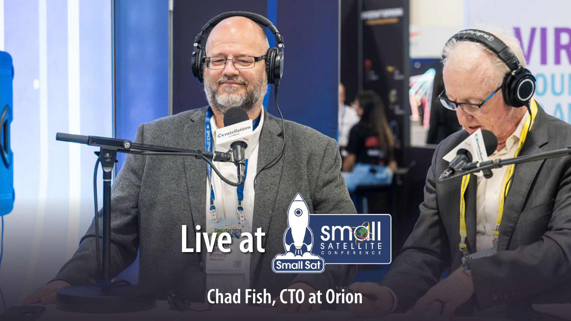
Joining us is Chad Fish, CTO and Vice President of Strategy at Orion Space Solutions, known for his work developing advanced satellite sensing and payload systems. Chad, welcome.
Chad Fish: Thank you. Good afternoon. It’s great to be here.
John Gilroy: We are standing at the floor of the Small Sat Conference in lovely downtown Salt Lake City, and you were one of the initial 45 here years ago. You’ve seen this grow to magnificent proportions, haven’t you?
Chad Fish: Yeah. As we were talking earlier, I saw it when we were just a set of professors and grad students. It was an interesting time.
John Gilroy: Wow. It’s just amazing how to see it go. Let’s put this discussion in perspective. So we talked about VLEO in the introduction here. When you’re assessing a VLEO mission at the concept stage, what’s the first constraint that tends to reveal whether the whole architecture is even workable?
Chad Fish: Yeah. The most important thing that you have to address today in VLEO is whether your spacecraft can stay aloft. There’s starting to become technologies available that I think will change that in the future. Won’t be such a driver. But right now, you have to determine if the altitude you’re going to go to at the different time of the solar cycle is even going to allow you to stay aloft and make a mission out of it.
John Gilroy: Wow. So that’s really the big question, whether that’s going to stay up, huh?
Chad Fish: Yeah, can you even stay aloft?
John Gilroy: Wow, wow, wow. How do you think about altitude selection in this variable here in VLEO? Beyond the usual resolution versus drag trade, what other factors genuinely shape that decision?
Chad Fish: Yeah, so the VLEO region, in addition to having a density profile that’s changing exponentially, so when you’re down low, it’s very high. When you get up to the higher altitudes of VLEO, it gets to a region that’s very manageable. But also in this region, it’s a very dynamic region of both the atmosphere and what’s called the ionosphere. So as you go from the bottom of VLEO to the top, both the neutral and the charged particles in that region, the densities and the way they’re behaving, change incredibly. And so whatever you’re after in terms of a space science mission or other aspects, you’re going to see a very wide range of dynamics and differences over that altitude, and that can really drive where you want to be in that region.
John Gilroy: Now you wouldn’t think there’d be that much variation within that low-level orbit, would you?
Chad Fish: No, it’s a pretty incredible region. As soon as you get above that to LEO and above, things start to, I’ll use the word flatten out. It’s not quite as dynamic. But in that region, you see a lot of change.
John Gilroy: So tell me, in your experience, which aspects of spacecraft behavior change most meaningfully when you move even just 20 or 30 kilometers lower than this typical LEO orbit we see?
Chad Fish: Yeah, once again, it goes to lifetime. So if you’re up at a region, say a space station or above, in some ways it doesn’t really matter what you look like. You can be a square, you can be a triangle, you can be a big balloon. But as soon as you start going down in altitude, your shape really matters. Think about something going through water, a river, an ocean. Something that’s pointed goes a lot better, a lot more smoothly than something that’s wide and broad. And so as you go down to lower altitudes, you need to take that into effect. It’s pretty strange. You can have basically a refrigerator orbiting up around the space station, but as you get down 50, 60 kilometers, that thing’s not going to stay up there very long.
John Gilroy: Well, it’s not much variation at all.
Chad Fish: No.
John Gilroy: Amazing. So how does operating that low influence the way you evaluate sensor stability or calibration strategies over time?
Chad Fish: Yeah. When you’re up higher, you can rotate the spacecraft. Basically, geometry doesn’t matter, so you can look at different things for longer periods. You can look out to different spots in space. You can also look to the ground without really a consequence as to how you’re pointing.
When you get down lower, if you turn off of where you’re going based on your geometry of your spacecraft, you can really affect the drag and it can cause serious problems. So you have to think through where you’re looking and how you’re looking and the timing on that. So there’s a big change in that and how you calibrate from higher up versus lower down.
John Gilroy: So it’s a delicate balance in many missions between trying to compensate for the drag and not compensate for it.
Chad Fish: Yeah, it’s a dance. It’s a delicate dance.
John Gilroy: Well, let’s see what kind of lessons you’ve learned from this dance. So what’s a lesson you’ve learned about VLEO that you would think surprise teams who have only designated for mid-LEO? In other words, if people in the audience here have just designed things for mid-LEO, what surprises them most about going that low?
Chad Fish: Yeah, so it’s the density, but it’s not a constant density. So let’s say you figure out how dense it is at a certain altitude. It might change on you in a day or a week or a month for a number of reasons. Depends on where you are on the Earth, whether it’s day or night, and also what the sun’s doing. The sun is very important in terms of how it manages the dynamics in that region of Earth. And one day, the density to certain altitude might be X, and it could be half of that or a fourth of that the next day. Most people don’t realize that. They understand that there’s an issue with density, but they don’t realize how variable that density is from day to day.
John Gilroy: I think when people think of oceans, they can see density changing and tides and everything else. When you’re in school, you think of a big glass globe. That’s the Earth, and it doesn’t change. That’s solid. It’s much more dynamic than people realize, isn’t it?
Chad Fish: Yeah. I mean, when you look at it, it seems stratified, but it’s not. It’s just like the ocean. You have a lot of waves up and down, a lot of modulation. And it’s actually even more dynamic at that altitude because the energy can move so much further down. The ocean, you see waves and they go up and down, I don’t know, tens of meters. But up there, you’re talking tens of kilometers.
John Gilroy: So Chad, with missions like ACMES pushing high fidelity thermal sensing into small aircraft, what stands out to you as the hardest part of making those instruments truly perform in VLEO?
Chad Fish: Yeah, so that’s an aspect of how do you reject heat on orbit? All of these high-performing sensors, they generate a lot of heat on orbit, so how do you get it off of the spacecraft? When you’re up at higher altitudes, you can stare and look at different aspects of space that are much colder. When you’re down on VLEO, you’re moving very quickly and you don’t have that advantage. So you got to think about unique ways to get that heat off the spacecraft, and do it in a way that’s very efficient.
John Gilroy: I’m using a couple of terms here that are kind of new to me, and you can correct me. So we know about ACMES. ACMES, from what I’ve read, it blends this LWIR imaging with methane sensing and, you mentioned the word before, ionospheric measurements. So when you see a payload stack like that, LWIR, methane, and ionospheric, what’s the systems-level question that you want to see answered first with that combination?
Chad Fish: You always have to figure out which is the most important one of those. I’ve got to make sure that my most important sensor works first, and then you do your best to have all of the different constraints, power, size, mass, communications, come together so that all of them fit together. But you always identify which is the most important one and make sure it’s successful. Then you bring the others in to support it.
John Gilroy: Now you looked around the show floor here. All kinds of companies that make different types of instruments. So a question here is what makes synchronizing multi-instrument observations uniquely challenging in this VLEO compared to slightly higher orbits? Again, we got the higher/lower comparison here.
Chad Fish: Yeah. So you’re orbiting what appears to be very quickly. As you go over a ground site, you’re going by what appears to be much faster than when you’re at higher altitude. Just think of the geometry there. And so you’ve got to make sure that you’re turning and looking very quickly if you’re looking at something on the ground or wherever your target is, so you’ve got to take that into account.
But at the same time, your space vehicle geometry is so important it can de-orbit you if you’re not having the right front view and your surface area is large, so that just really limits how quickly you can look at something. Up on orbit, you’re a lot stabler and you have time to use other mechanisms on the spacecraft to turn different instruments together or separately. Down at VLEO, you’re really just one body moving very quickly.
John Gilroy: This morning, I went to the keynote and one of the questions from the audience involved ground systems. So Chad, how do you think ground systems need to evolve to make this VLEO concept of constellations more predictable and less operationally intensive?
Chad Fish: Yeah, so I think the long term is the ground stations are going to have to be on orbit. It’s going to be very hard for ground stations on the ground to keep up with all the VLEO activity as it goes forward, just because those altitudes and orbits are changing so quickly. So there’s going to have to be something on orbit that allows communication between the different spacecraft so they can coordinate amongst themselves, and then communicate to the ground and let people know where they’re at. But to be very good, it’s going to have to use, I would say, autonomy on orbit to be manageable in large constellation sizes.
John Gilroy: Well, you’ll have to come up with a new word. It’s not ground station anymore if it’s up in the sky, is it?
Chad Fish: Yeah, we’ll call it VLEO stations, something like that.
John Gilroy: Something like that. As VLEO capabilities expand, what kinds of questions are customers asking now that they weren’t asking even a few years ago?
Chad Fish: Yeah. So I think the dominant factor about VLEO is that it is open real estate. Nobody else is there. Strangely, the closest area of space to Earth that we can orbit in is almost empty. Everybody’s at about 400 kilometers on up. And as you know, the mega constellations and all the big constellations that provide comms and things are dominating that region. Down below, it’s empty. So it’s going to be a race for those that are operating at LEO to find ways to get down on VLEO, stay aloft, stay in orbit, and do the same things that they were doing up in LEO, like comms, photography, imagery. Those will all be the same applications down below.
The other thing is when you’re down that VLEO region, your signal is so much better. You’re just closer to everything so you can see and hear better.
John Gilroy: I would figure that whole idea of photography would be the attraction to going lower, isn’t it? Better resolution.
Chad Fish: Yes, absolutely.
John Gilroy: How do you see VLEO changing the relationship between data providers and end users, especially as refresh rates and data volumes grow?
Chad Fish: Yeah. So I just came out of a meeting where NOAA was talking about how they’re using commercial groups to provide data. VLEO is just going to be this whole other real estate where you can put up all these new assets that can take these measurements, including better measurements, more clear imagery of the Earth, better RF signals that you can take advantage of, so it’s just going to grow. I think VLEO is going to become even more dominant for commercial applications and commercial data streaming than it is in LEO.
John Gilroy: VLEO is going to be the new LEO, huh?
Chad Fish: I think so, yeah. They’re going to take all of what’s going on commercial in LEO, and it’s going to drive what’s going in VLEO. Exactly.
John Gilroy: That could be a T-shirt for your company.
Chad Fish: Yeah, it could be. I like that. Yeah. Very good.
John Gilroy: As VLEO matures, what kinds of mission concepts do you think will emerge that aren’t feasible today, but are starting to come into view?
Chad Fish: I think one of the first ones is there’s going to be an extension of 5G and 6G into space. So right now, 5G and 6G are pretty well dominated by ground infrastructure and ground applications. But VLEO is low enough that you could really take advantage of the signal, and I think 5G and 6G communications are going to become very important in VLEO. It’s not going to happen overnight, but people are moving that direction.
And then I also believe that broadband comms are just going to come down and be dominant in that region as well. It’s so much easier to talk at that distance.
John Gilroy: Well, you’ve seen the origins of this at Small Sat Show, and now you’re in the full flowering of it. Predicting ahead is kind of difficult, isn’t it?
Chad Fish: Yeah.
John Gilroy: Good, good, good. Well, Chad, I think you have given our listeners a better understanding of VLEO mission innovation. I’d like to thank our guest, Chad Fish, CTO/Vice President of Strategy at Orion Space Solutions.
Chad Fish: Thank you. It’s been a pleasure being here.