US Space Forces-Space (S4S) has confirmed the catastrophic failure and break-up Intelsat-33e, identified in the NORAD Catalog as 41748 and in the COSPAR Catalog as 2016-053B. This is an analysis of the final hours of the vehicle, as observed by the Kratos Global Sensor Network (KnownSpace).
Satellite Failure on 19 October 2024
The KnownSpace network was performing active RF monitoring of Intelsat-33e in support of the US Department of Defense, US Space Forces-Space, and other customers. In addition, the network was collecting passive RF data to develop orbit state determination of the satellite.
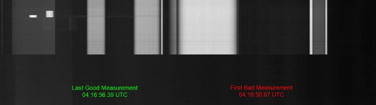
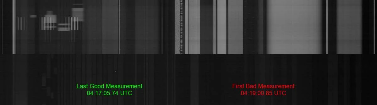
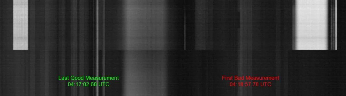
As part of RF monitoring activities, the Kratos sensor network last detected healthy communication signals from the satellite at 04:17:05.74 UTC. In the 8 hours leading up to this moment, there were no indicators or warnings of an impending satellite failure. The first measurements indicating a fault occurred were detected at 04:18:50.67 UTC, approximately 1 minute and 45 seconds after the last good detection. These measurements showed a complete loss of RF activity from Intelsat-33e. The relatively short period of time between last-good and first-bad measurements, combined with the total and absolute loss of RF signal activity, suggest a rapid and catastrophic failure occurred.
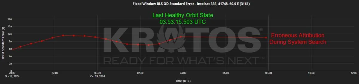
KnownSpace’s Passive RF Ranging system last detected a healthy signal at 03:53:15.503 UTC. With a 30-minute revisit cadence, the next attempt was 04:23:15.503 UTC, and no RF activity was detected. Analysis of the orbit state determination performed on the 0353 UTC measurement shows no abnormalities; the derived orbit state was consistent with a healthy geosynchronous orbit, and with its prior measurements.